Description
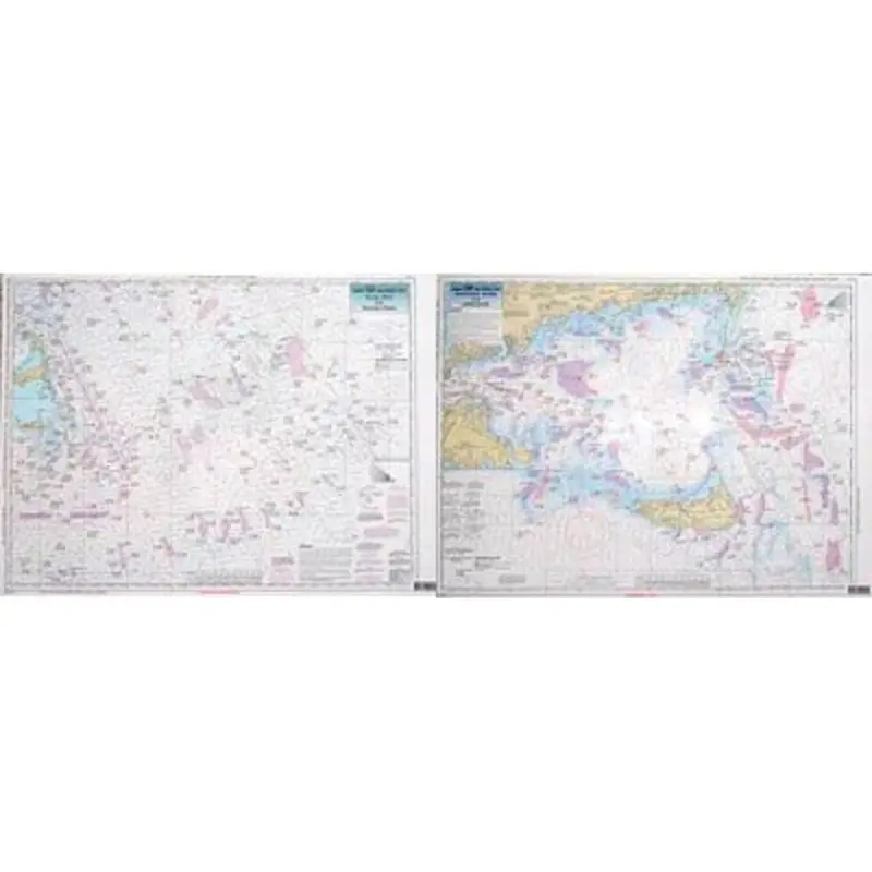
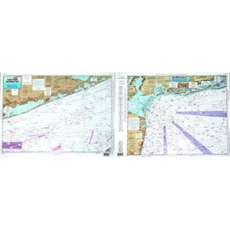
Captain Seagull’s Nantucket Shoals and Georges Bank MA Nautical Chart is a an offshore chart, 90 to 100 miles off coast, Double sided, laminated, 19 x 26 inches. Massachusetts coastline.
Offshore canyon chart, side A: from west of Nantucket east to the Corsair Canyon and to the Canadian line, begins with the Veatch Canyon, includes the Winter Fishing Grounds. Side B: nearshore chart detail of Nantucket and Nantucket Shoals, west to eastern half to Martha’s Vineyard to 10 miles east of Nantucket. All charts include GPS coordinates, wrecks, reefs, shoals, fishing areas, amenities and restrictions. Also refer to MVN116, SCC103, & BNG210.
Captain Seagull’s Nantucket Shoals and Georges Bank MA Nautical Chart – Model # NG12
Explore more from our collection.


Reviews
There are no reviews yet.