Description
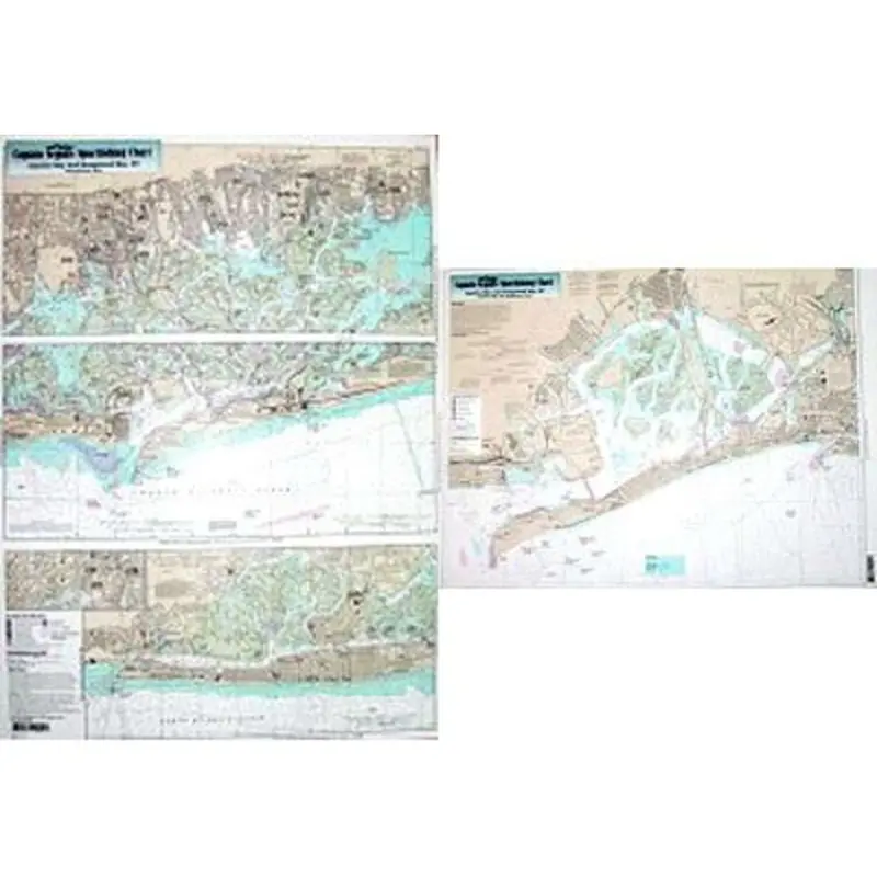
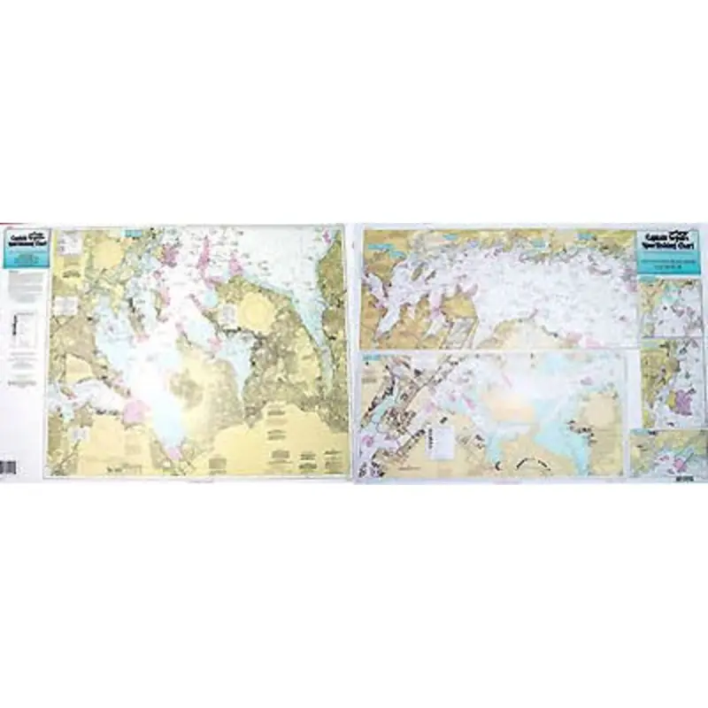
Captain Seagull’s Jamaica and Hempstead Bays NY Inshore Nautical Chart is an inshore chart 1-2 miles off the coast detailing the bays Chart is 19 x 26 inches, double sided, and laminated. New York Coastline.
Captain Seagull’s Jamaica and Hempstead Bays NY Inshore Nautical Chart – Model # JH113
This Captain Seagull Jamaica & Hempstead Bays Chart – Ny Inshore Boating Map is a curated choice in our Charts + Media line, providing both quality and value.
Explore more from our collection.


Reviews
There are no reviews yet.